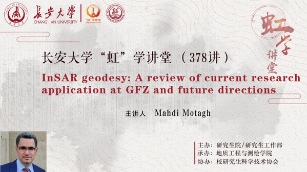
On the afternoon of May 30, the 378th lecture of "HONG" was successfully held in the form of an online lecture, which was sponsored by the Graduate School/Graduate Work Department, organized by the School of Geological Engineering and Mapping, and co-organized by Graduate Student Science and Technology Association. Professor Mahdi Motagh from Gottfried Wilhelm Leibniz Universität Hannover, Germany, gave a lecture entitled "InSAR geodesy: a review of current research applications at GFZ and future directions". More than 200 faculty members and students from related colleges attended the lecture.

Presentation by Prof. MahdiMotagh
Professor MahdiMotagh introduced the distribution and status of surface water in detail, discussed the relationship between surface water and ground subsidence, pointed out that the main cause of ground subsidence is groundwater mining, and analyzed the groundwater mining in the Wuhan area as an example. InSAR images of sinkholes increasing year by year. Taking the Taiyuan area as an example, Prof. Mahdi Motagh explained the ground subsidence and ground rebound images and modeling equations, and remote sensing analysis of landslides regarding floods, etc. Prof. MahdiMotagh emphasized that deep learning using a UAV SAR system with the short return, high spatial resolution, flexible geometry and multi-frequency combination for integrated analysis is a sustainable direction for future research.
After the report, Prof. MahdiMotagh patiently answered the students' questions related to the application of large-area landslide combined with InSAR, which helped them have a more in-depth understanding of the report content.
