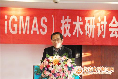
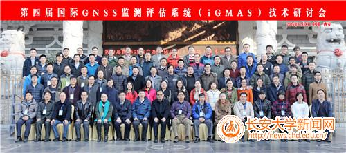
On the December 8th2016, The 4thInternational GNSS Monitoring and Assessment System Technical Seminar was held in Xi'an, hosted by the China Society of Geodesy and Geodetic Survey Professional Committee of Geodesy and Navigation and the National Beidou Satellite Navigation Standardization Technical Committee, undertook by Chang' an University, More than 100 experts and scholars of satellite navigation from more than twenty units from the country attended the seminar. Vice President Sha Aimin delivered an opening speech at the meeting. He introduced the basic situation of our university and the major achievements in discipline construction and scientific research in recent years, and gave the experts and brother universities gratitude to their support and help. Our School of Geological Engineering and Surveying and Mapping, Beidou Analysis and Service Center attended the meeting. The opening ceremony was presided by Prof. Zhang Qin, a doctoral supervisor of the School of Geological Engineering and Surveying and Mapping of Chang’ an University.
The symposium has arranged 21 special reports, involving satellite load, operation and control, monitoring and control, equipment and technology and other levels, by the domestic engaged in satellite navigation and positioning research experts and scholars to exchange reports. The seminar focused on iGMAS operation and maintenance, new concepts and new technologies of satellite navigation, the next generation of Beidou analysis center, the internationalization of global continuous monitoring and evaluation, the feasibility of iGMAS research group and the feasibility of Beidou / GNSS's expand the application of new areas as the main issues, started technical discussions and exchanges. Prof. Huang Guanwen and Dr. Yan Xingyuan made special reports entitled "Beidou Satellite Navigation Initial Cloud Platform and Application" and "Beidou MEO and IGSO Antenna Phase Center On-orbit Calibration", respectively.
BeiDou Navigation Satellite System (BDS) is the independent development of China's independent development of the global satellite navigation system, is an important national information facilities and strategic basis of resources. The International GNSS Monitoring and Evaluation System (iGMAS) is an open information platform for the monitoring and evaluation of the operational status and key performance indicators of Compass satellite navigation systems. Beidou analysis and service center for three consecutive years in the same industry in the country than in the selection of the best in the Beidou satellite navigation system, an important participant and one of the supporting units, by the Beidou satellite navigation system in charge of the unit in recognition and praise many times.

Vice President Sha Aimin Is Delivering A Speech

Group Photo
